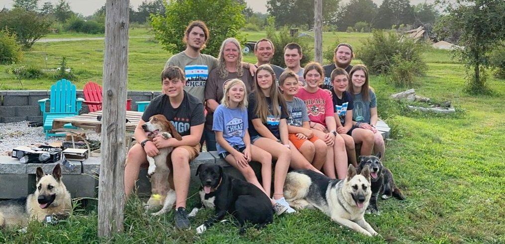
Amelia
We left our campground a little before 10:00 this morning without a real destination. We wanted to head east towards Mammoth Cave, Kentucky, although we have no idea if we will be stopping there. We had to stop three times in the first three hours for bathroom breaks. I think I am going to ban Charlie from any more iced tea.
After our lunch stop, we were close to the border of Missouri and Kentucky and Illinois. We pulled out of our lunch stop heading in the wrong direction, so we had to turn around. We took another road to take us on the bridge over the Mississippi River. While driving down that highway, we observed lots of cropland that had been planted in wheat. The wheat had been harvested and the straw cut and now they were burning the cropland. There was the pungent smell of smoke permeating the air. The next thing we know, we saw a sign stating that the bridge for our highway into Illinois was closed and to take a different highway. After a couple more miles we discovered that we were actually going to have to turn around to take that other highway. There was no detour to take us to that highway – we just had to figure it out on our own. Well, we finally made it to that highway and crossed the Mississippi River and then the Ohio River.
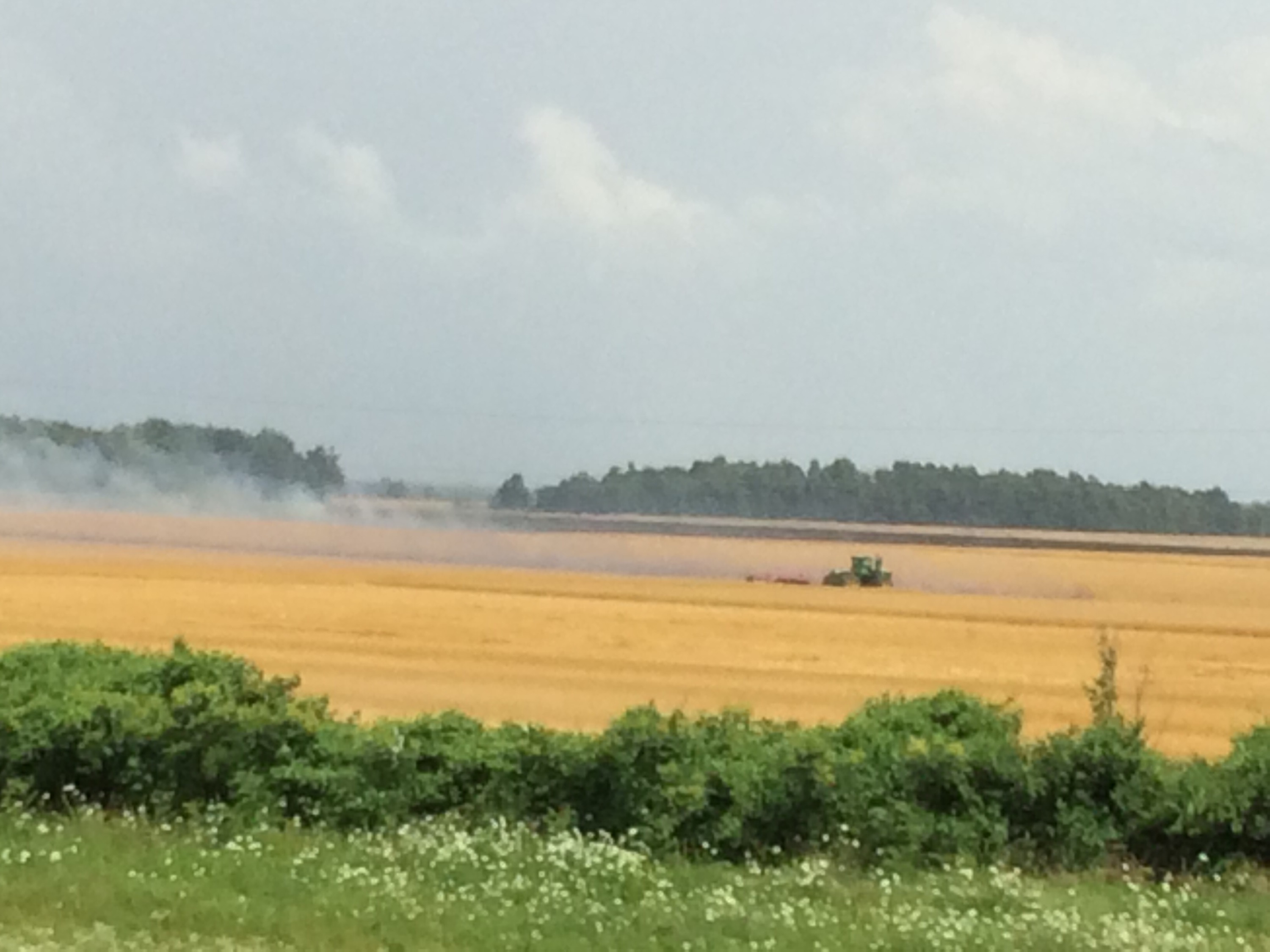
Burning the wheat fields
Now that we were finally in Kentucky, we started following the directions for the highways that I wanted to take (read “not interstate”). After just a couple minutes, I realized that there was a road that could cut off some mileage for us, so I wanted us to turn around. We pulled into a scenic overlook to turn around and realized that it was an overlook of the confluence of the Mississippi and Ohio Rivers. There was a huge cross there at the overlook, so we decided that it was a good opportunity to stretch our legs and take a look.

Fort Jefferson Cross at the Confluence of the Ohio and Mississippi Rivers
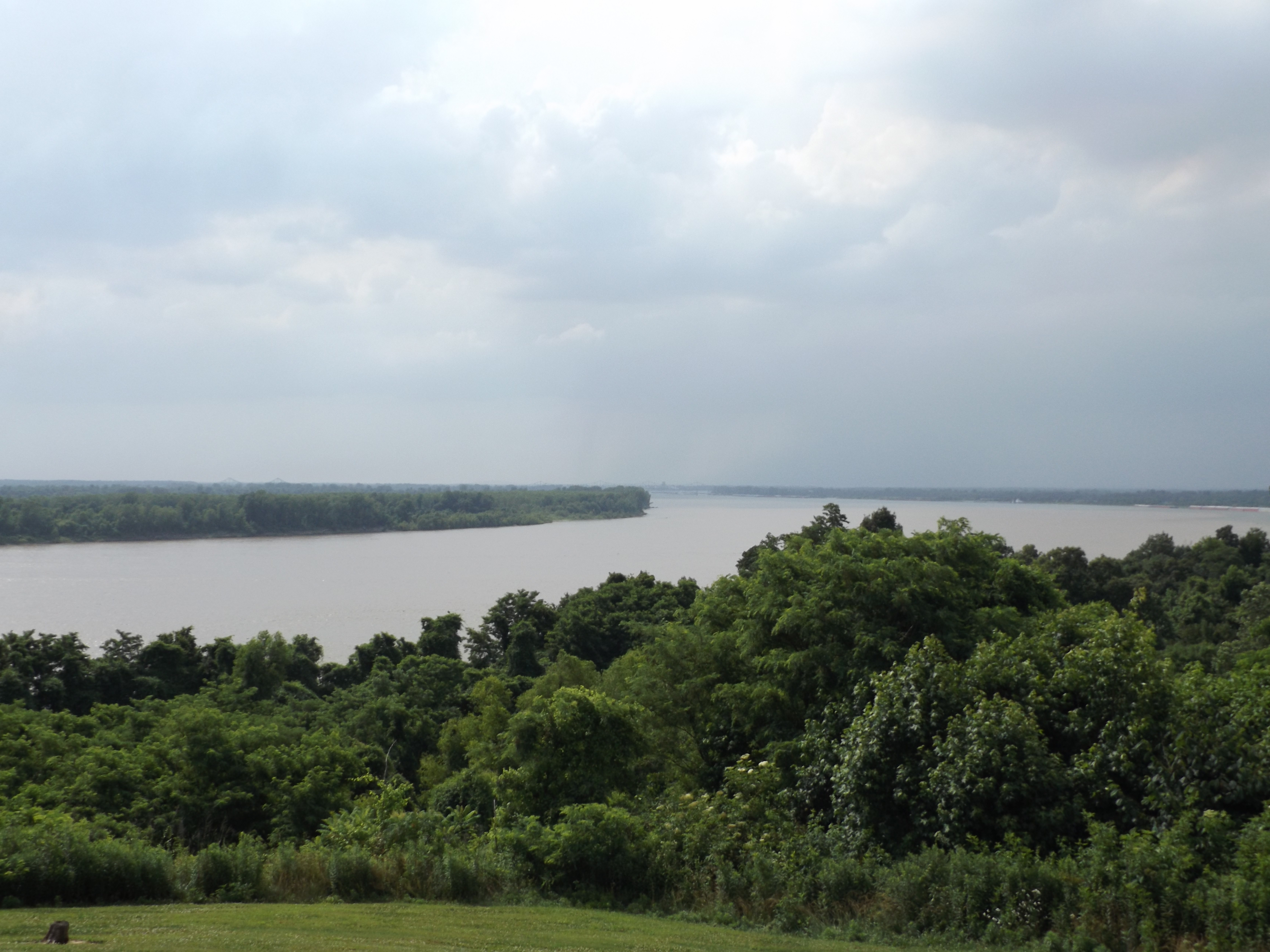
The confluence of the Ohio and Mississippi Rivers
A little bit later, we hopped back into the van and began heading in the correct direction. I worked on my blog posts for a while; Charlie was following the GPS. A little later he asked me a question about directions. I looked at the map and realized that we were going in a totally different direction than what I was planning on. I had assumed the GPS was taking the route that I wanted (a southeasterly direction) when in reality it was taking us a northeasterly direction. We decided at Paducah to start going south to pick up the highway that I wanted to take (we took this highway 5 years ago and loved it). I decided not to rely on the GPS anymore because it wasn’t taking us the way I wanted to go and turned it off.
We took that highway all the way south to a cute little town called Mayfield. In Mayfield, we began looking for the highway that was going to take us east. We found the sign and turned in the direction of the sign. To make a very long story shorter, the signs were a disaster, and we had to turn around two more times before we were finally able to get on the road we wanted. Finally, we were on the road that would take us toward Mammoth Cave.

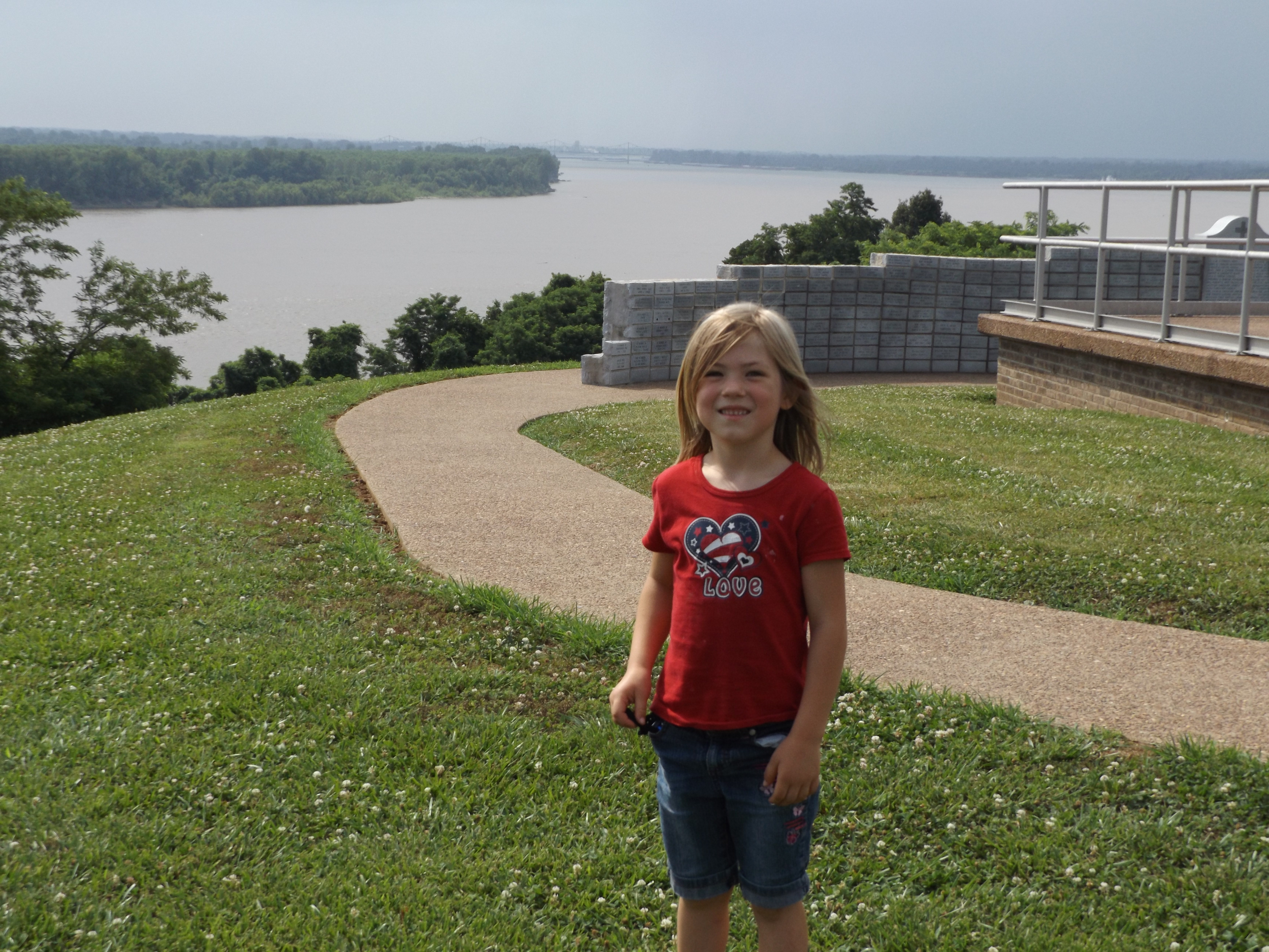
Amelia and Dominic
We were happily bee-bopping down the road that we wanted to be on when we saw a bridge coming up that was under construction and a detour sign for our highway and the direction we were going. There was no notice – just a quick detour sign to send us north. We quickly turned. When we looked over our shoulder, it appeared that there were vehicles travelling from a westerly direction across the bridge and it appeared that there may have been one car crossing the bridge coming from our direction. We decided to keep going in the direction that the detour sign pointed us. The next bridge to cross that river was 20-something miles to the north. We drove up there only to realize that we were going to end up taking the same highway that the GPS tried to put us on from right after we crossed into Kentucky at the Mississippi and Ohio Rivers. We had basically just completed three sides of a rectangle and added hours to our day. I finally gave up and decided that God must want us to go this way for some reason. There was no way I was going to try to put us back on the highway I wanted to take when we had been taken off it three times for various reasons. We gave up on all ideas of stopping to make dinner somewhere and went and bought sandwiches in Arby’s.
After buying dinner, we were back on the road driving with our destination of Bowling Green. We had about 2 hours more of driving time. We sat back to enjoy the ride and let the long day roll off our backs. I was doing some deep breathing to get rid of the stress that I was experiencing from all the extra time we had had to spend in the van. I finally mellowed out just in time to come into Bowling Green. We had turned the GPS on because I was done with trying to get us there for the day. We were just going to rely on the GPS for now. The GPS said to get off on exit 2B. I looked at the sign and saw 2B and told Charlie that this is where we needed to exit because the GPS said so. He had to really hit the brakes before he missed the exit, but he made it. Just after we took the exit, the GPS told us to get off the interstate in 14 miles. Evidently, the GPS should have told us to take 2A because the A exit was going northbound, the direction that we wanted to go, and the B exit was going southbound. In the GPS’ defense, it did show us that we should have taken the next clover leaf exit, but it said and displayed “Exit 2B”. So much for relying on the GPS. Now we had to drive another 14 miles before we would even reach the next exit to be able to turn around. Another ½ an hour out of our way. Will this drive never end? What a day! I know there are blessings to be found in this, but I believe I will wait until tomorrow to try to be able to find them.
Blessings,
Rebecca

If those are the only problems you’ve had in 6 weeks with highways and GPS then you’ve been very fortunate. You need to frame the photo of Amelia and Dominic. You probably will not get another like it until they are in their 20’s.
If you get a chance, check out Karen’s email with the video link. Your brother wants his coonskin cap, Davy Crockett suite and slingshot back. He’s ready to go bear hunting.
Be Safe!!
Love,
grandpa
LikeLike
That bear would have had no chance 25 years ago in my prime!
I never made it to Mammoth Caves when I lived in Kentucky/Ohio. But numerous friends said it was an great weekend trip.
LikeLike
LOL. I feel your pain. What a day!
Kristy
LikeLike
If you can, GO TO MAMMOTH CAVE!
We took the family there last August because I had been there as a kid and loved it! There are several tours you can take. We took the historic tour, which is good for kids (and arm kids). The Stalactite tour is good too (we took it) but it would be hard to carry the “littles” througth it (stairs, narrow,etc)
See you soon in SC!!
LikeLike
We can’t wait till y’all get back, we love you guys stay safe!
LikeLike